ADWR Constituent Portal
You can now fill out SOCs online through our Constituent Portal.
Currently, Amendments and Assignments cannot be processed through the portal. You may still download or request a paper form to mail-in or drop off for submission.
Please send portal questions to [email protected] or call (602) 771-8590.
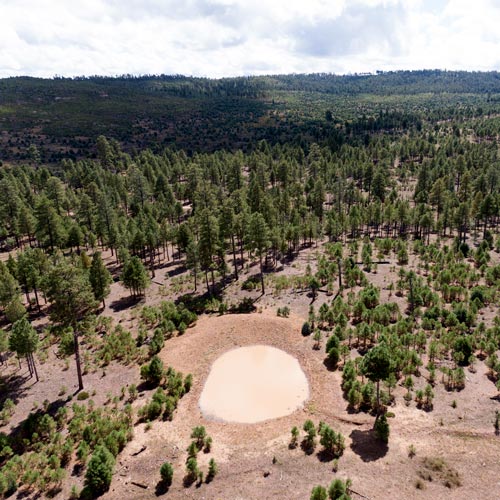
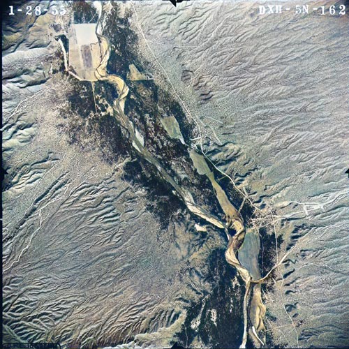
Preliminary Hydrographic Survey Report
for the Sycamore Subwatershed in the Verde River Watershed
On March 13, 2026 ADWR received a returned Preliminary HSR information and resources packet from the Paulden Public Library. ADWR is working to resolve the issue and accomplish delivery.
The ADWR Adjudications Division provides technical assistance to the Superior Court in the General Stream Adjudication Proceedings. To assist the Court, Adjudications accepts the filing of Statements of Claimant (SOCs) and amendments and modifications of SOCs, investigates and reports on water uses as directed by the Court, and provides reports on various technical issues. The Adjudications Division’s responsibilities are described more fully in Arizona Revised Statutes § 45-256.
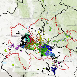
The general stream adjudication is a judicial proceeding to determine the nature, extent, and relative priority of water rights in Arizona. See Arizona Revised Statutes (A.R.S.) §§ 45-251 to 45-264. There are two general stream adjudications in the state, one for the Gila River System and Source (Gila Adjudication) and one for the Little Colorado River System and Source (LCR Adjudication). The exterior boundaries of these two adjudication areas include more than half the state, where most of the Indian reservations and federal lands are located. Thousands of claimants and water users are joined in these proceedings, which will result in the Superior Court issuing a comprehensive final decree of water rights for both river systems.
Click the About Adjudications tile, below, for more information. You may also refer to the Help Center tile for FAQs.

About Adjudications
Statements of Claimants

Case Filings & Disclosure Documents
Adjudication Reports

Decreed & Proposed Water Rights Abstract Library
Historical Research Documents
Maps, Apps, and Data Downloads
Tribal Water Settlements