

Interactive Maps


ADWR Data Downloads
GIS Data and Maps
Use this ADWR Open Data Portal to access current GIS data.
ADWR TABULAR Data Download
Below are zip files of raw data from ADWR databases.
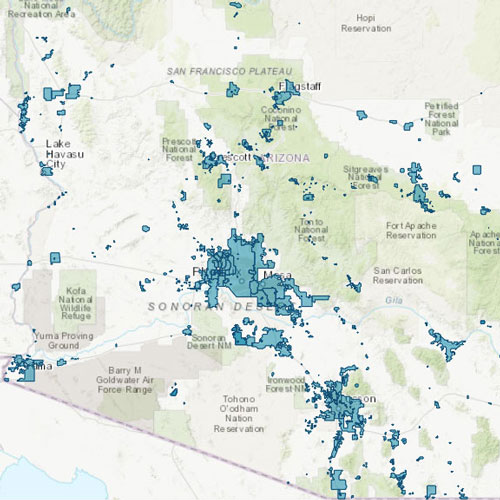
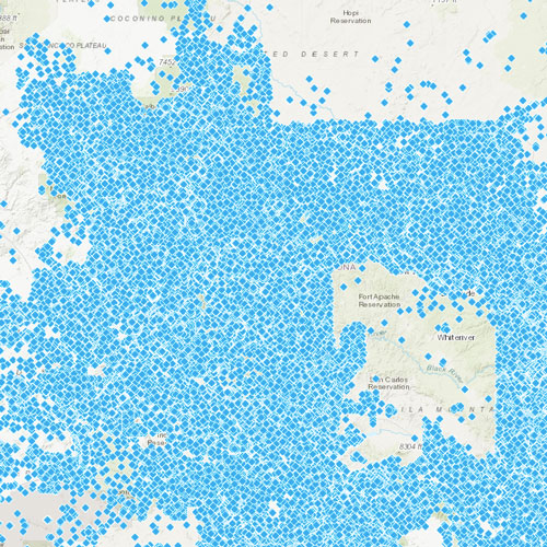
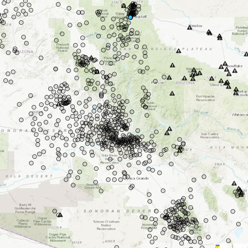
The Groundwater Site Inventory (GWSI) consists of field-verified data regarding wells and springs collected by personnel from the Hydrology Division’s Basic Data Section, the U.S. Geological Survey and other co-operating agencies. The information in GWSI is constantly being updated by ongoing field investigations and through a state-wide network of water level and water quality monitoring sites.
If you are interested in using the GWSI mapping tool, please see the ADWR GWSI Web Application.
These tables were last updated 04/14/2026.
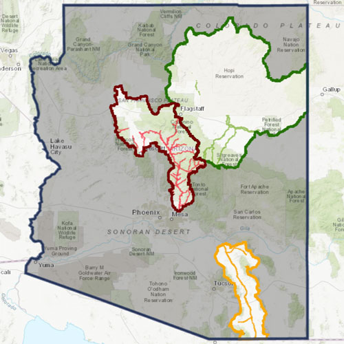
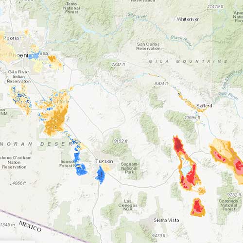
The Arizona Department of Water Resources Hydrology Division's Geophysics/Surveying Unit has been collecting and processing Interferometric Synthetic Aperture Radar (InSAR) data since 2002 to monitor land subsidence across the State of Arizona. Statewide land subsidence features were identified using the ERS-1, ERS-2, Radarsat-1, EnviSat, ALOS-1, ALOS-2, Radarsat-2, and Sentinel-1 Satellites and are updated to 2026. This data contains spatial extent of the Arizona land subsidence features as of May 2026 and is created to serve as base information for use in GIS systems for a variety of planning and analysis purposes.
Updated May 26, 2026
Statewide Maps
Download the published PDF maps here or submit a Public Records Request Form for additional data.


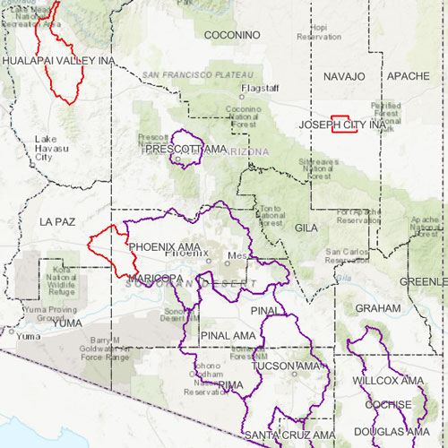
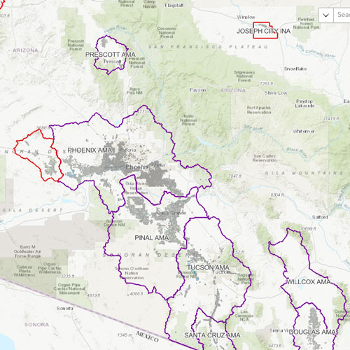
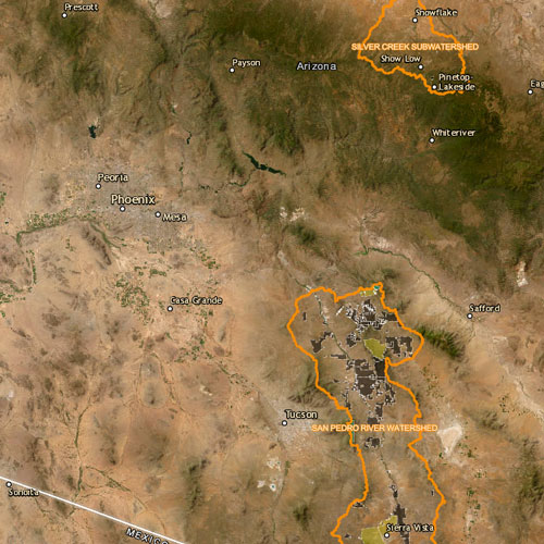
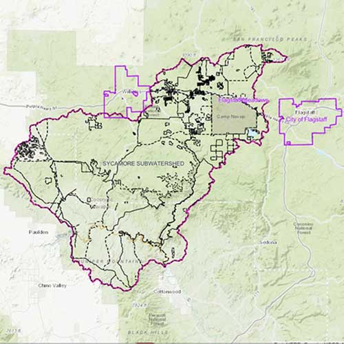
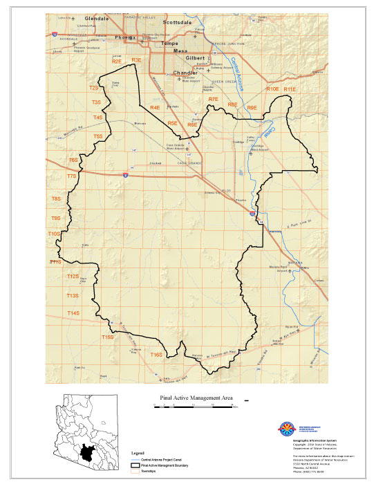
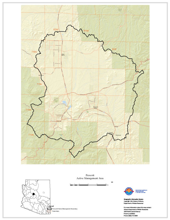
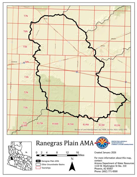
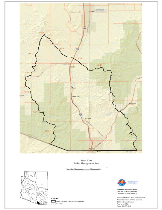
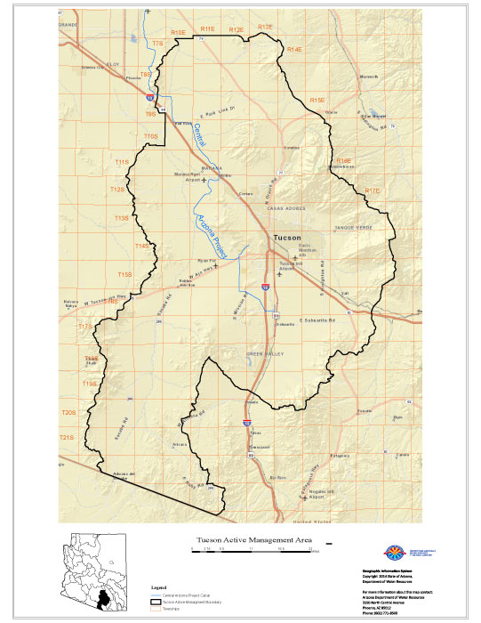
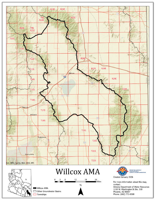
AMA and Local Maps
Download the published PDF maps here or submit a Public Records Request Form for additional data.


For additional GIS data pertaining
to the state of Arizona, please visit the