
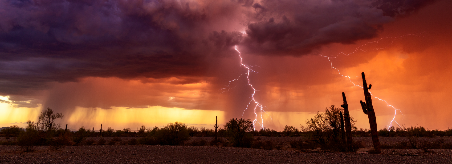
The Near-perfect Storms: Arizona weathers a fierce series of storms raging in from the Pacific
While not quite the scale of The Perfect Storm
that engulfed the northeastern U.S. in October 1991, the storms of late September and early October that raged in from the eastern Pacific, flooding Arizona communities and wreaking widespread havoc, were of the same family of complex weather patterns.
Beginning at the tail end of the Southwestern monsoon
season, warm sea surface waters and a favorable atmospheric pattern began supporting organized tropical development in the eastern Pacific.
At the same time, explained National Weather Service meteorologist Mark O’Malley, a series of autumn storm systems entering the western United States created a wind pattern conducive towards pulling residual moisture sheared from three Pacific tropical systems into Arizona over a prolonged period.
As a result, several rounds of showers and thunderstorms swept through much of the state producing much welcome drought relief, but also significant flash flooding and damage.
As O’Malley explained, the interaction between tropical moisture and weather disturbances during the transition between the monsoon and cold season occurs occasionally in the Southwest, and many of the daily rainfall records around the state in September and October are a result of these scenarios.
Occasionally, yes. But not often with the sort of near-perfect storm intensity that marked the torrential series of storms that caused deadly flooding in the Globe-Miami area in late September – storms that preceded still more blinding rain and flooding the weekend of October 11-12.
The October storms proved nearly as destructive as those that arrived two weeks earlier, including in Globe and Miami, which experienced still more flooding. They also pummeled communities in the Phoenix-metro area.
I have lived here for over 22 years and I’ve never seen a storm like the one we saw yesterday,
said Tempe Mayor Corey Woods during a press conference two days after the storms finally abated.
Woods said the city was hit by an extreme microburst on Monday afternoon that dropped three-quarters of an inch of rain within minutes and delivered wind speeds reaching up to 70 miles per hour
, according to the National Weather Service in Phoenix.
6:51 PM Radar Update: Scattered showers and storms are moving through the east Valley right now. Expect excessive lightning and localized heavy rainfall with these cells. Please do not drive through any flooded roads. #azwx pic.twitter.com/lofgKl4Hcq
— NWS Phoenix (@NWSPhoenix) October 14, 2025
As recorded at Sky Harbor Airport, Phoenix received about 1.64 inches of rain from the September storms, the heaviest rainfall for that period since 2018, according to the National Weather Service. The October storms, meanwhile, brought even heavier downpours, registering over 3 inches of rain by October 12.
As reported in the Arizona Republic, the powerful rainfall flooded many creeks and roadways prone to heavy runoff.
In advance of such weather emergencies, ADWR’s Floodplain Management staff sends out alerts to all 15 Arizona counties and 91 cities and towns that have a designated Floodplain Administrator.
The ADWR coordinator provides those floodplain administrators with a variety of resources and responds to their comments, questions and requests for assistance.
After the release of the shocking video of dozens of leaking propane tanks floating down the main street of Globe, ADWR's Floodplain Management team included additional information about the storage of equipment and materials in flood-prone areas.
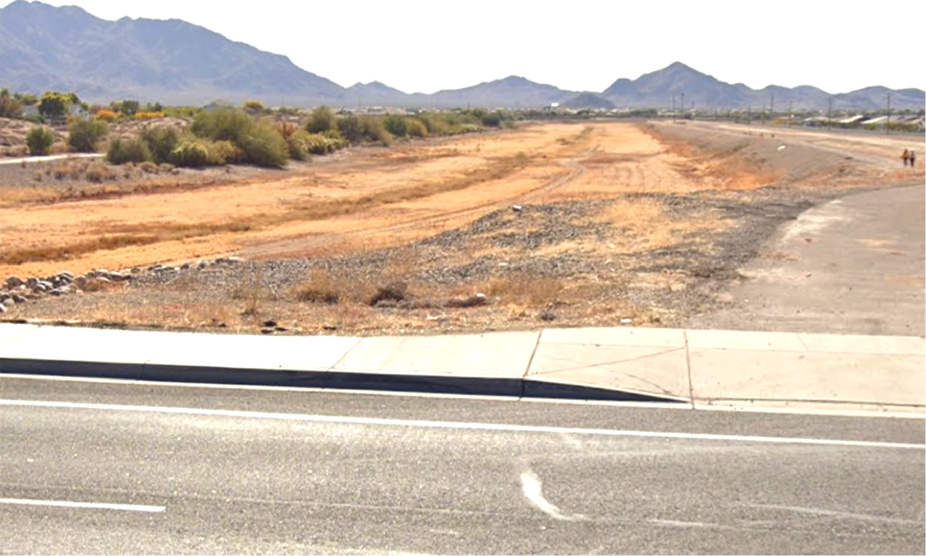
Flood control wash located at Greenfield and Chandler Heights before storm
Image Courtesy of David French
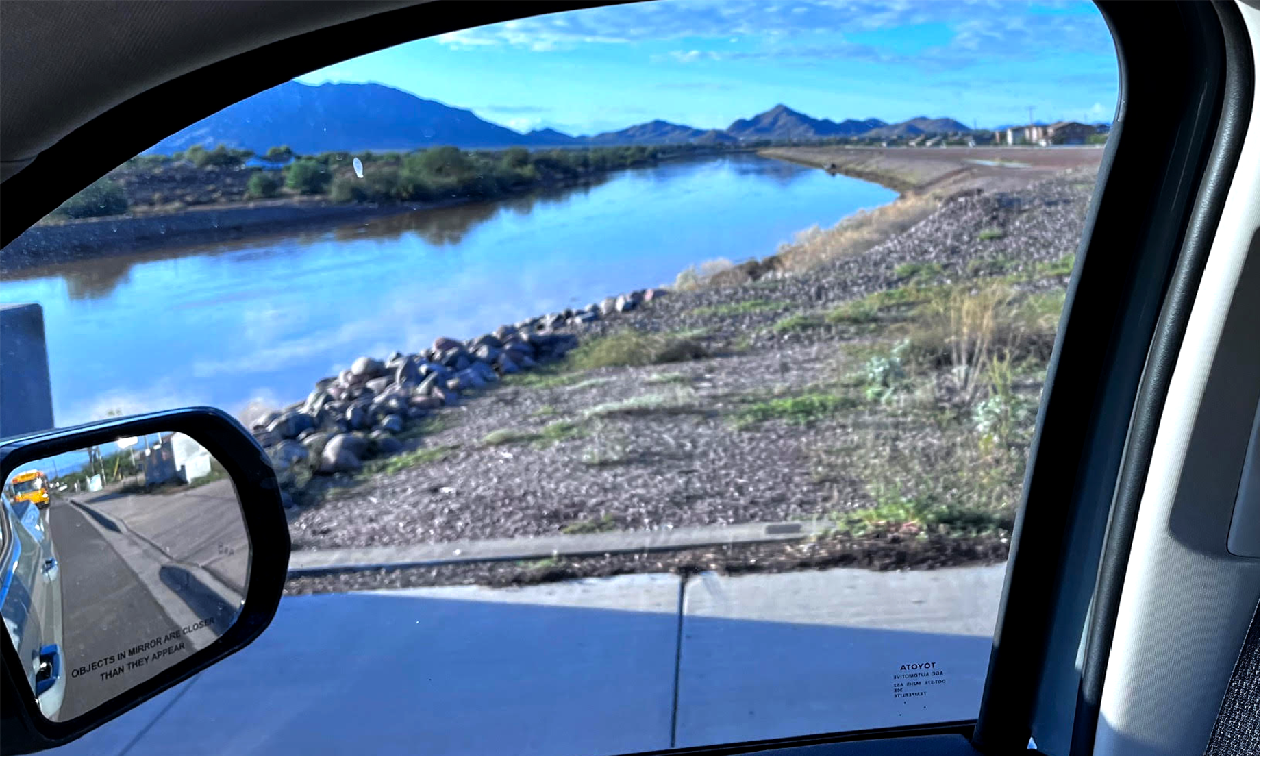
Flood control wash located at Greenfield and Chandler Heights after storm
Image Courtesy of David French
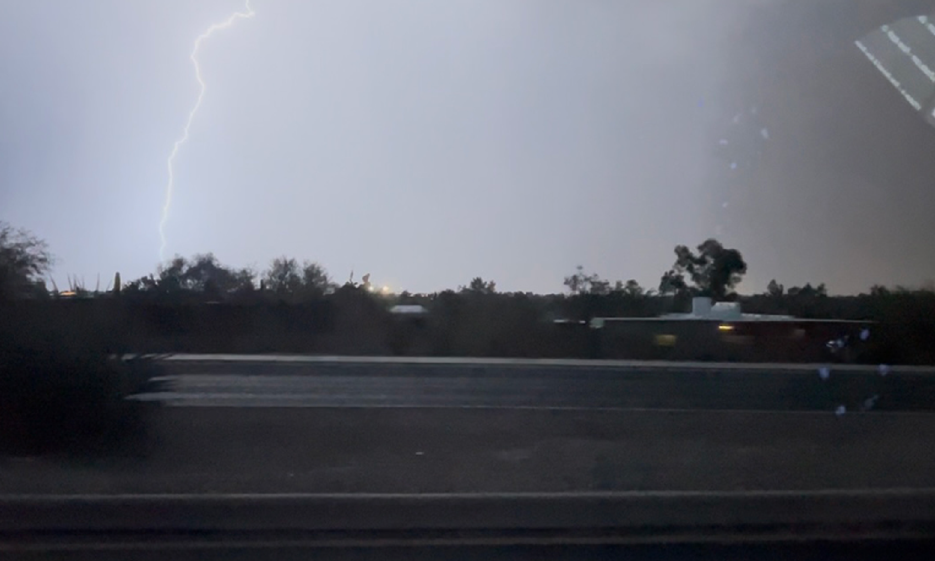
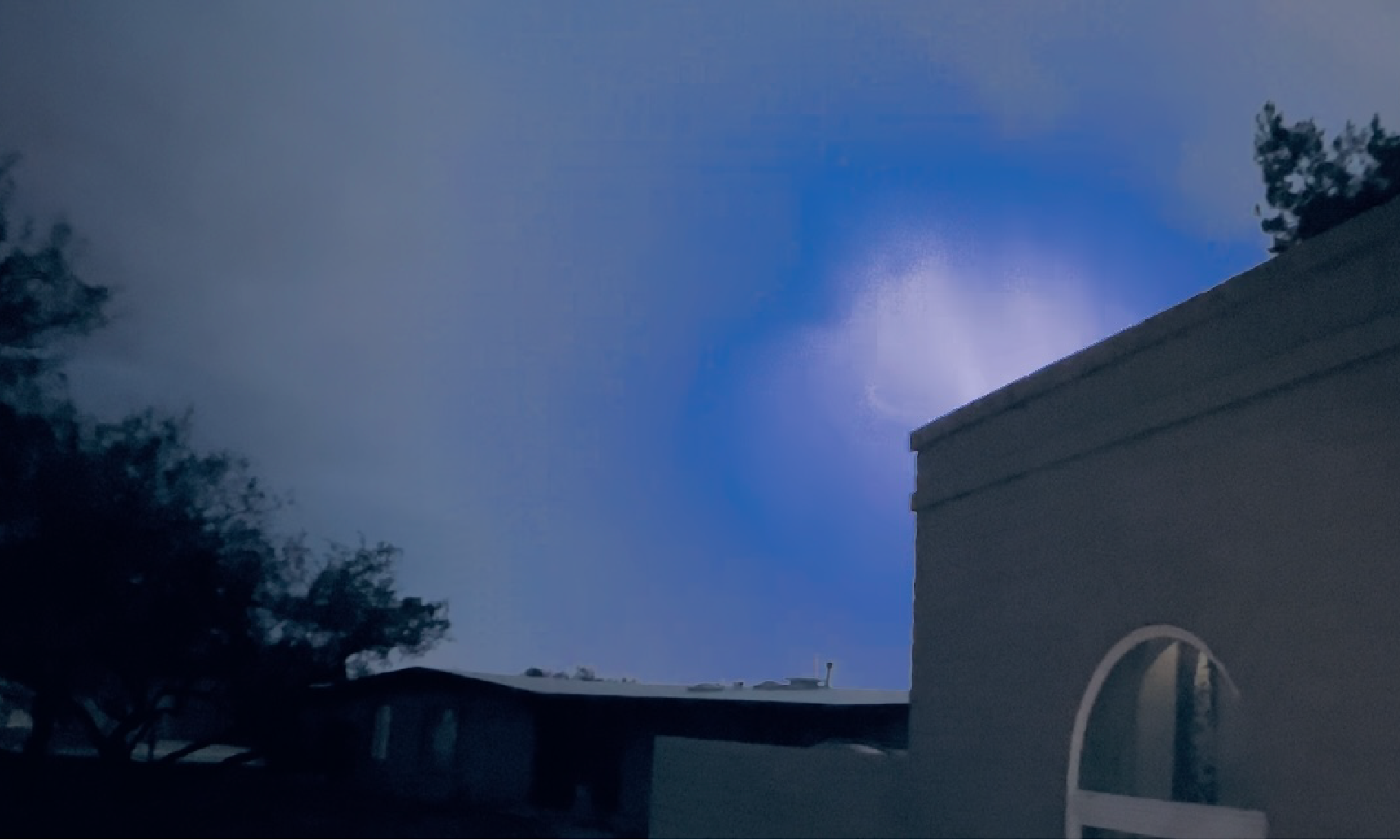
Storm conditions visible in Tucson
Image Courtesy of Helena La Pina

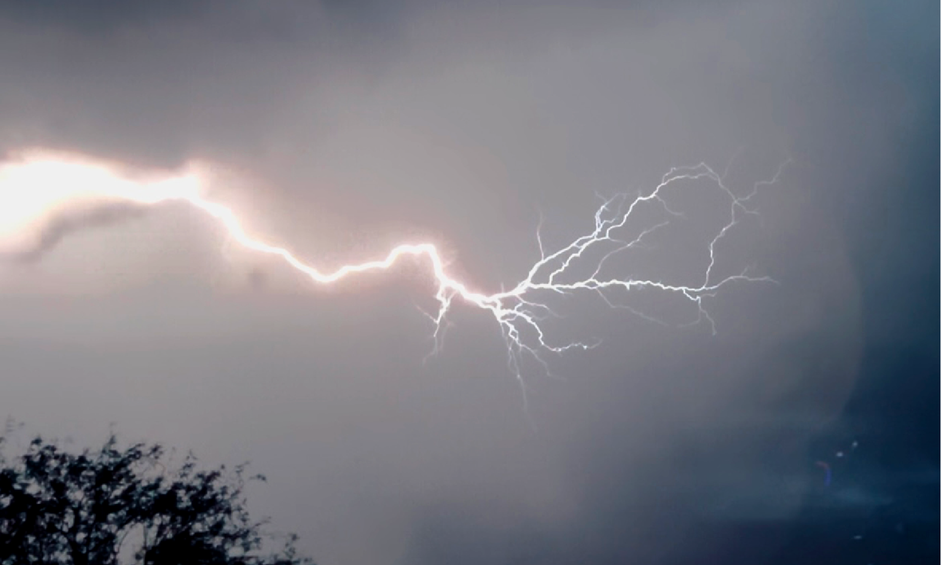
Storm conditions visible in Tucson
Image Courtesy of Helena La Pina

Storm conditions visible in Tucson
Image Courtesy of Helena La Pina
Storm conditions visible in Tucson
Image Courtesy of Helena La Pina
Storm conditions visible in Tucson
Image Courtesy of Helena La Pina
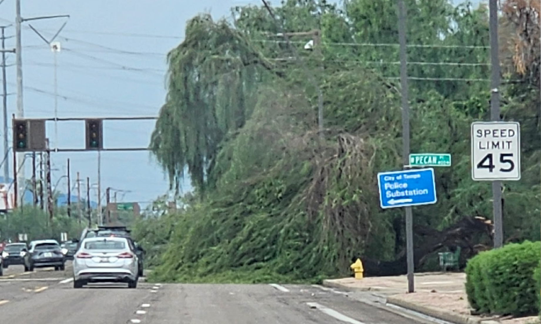
Storm damage close to Southern Avenue in Tempe
Image Courtesy of Arlene Mccracken
Storm damage close to Southern Avenue in Tempe
Image Courtesy of Arlene Mccracken
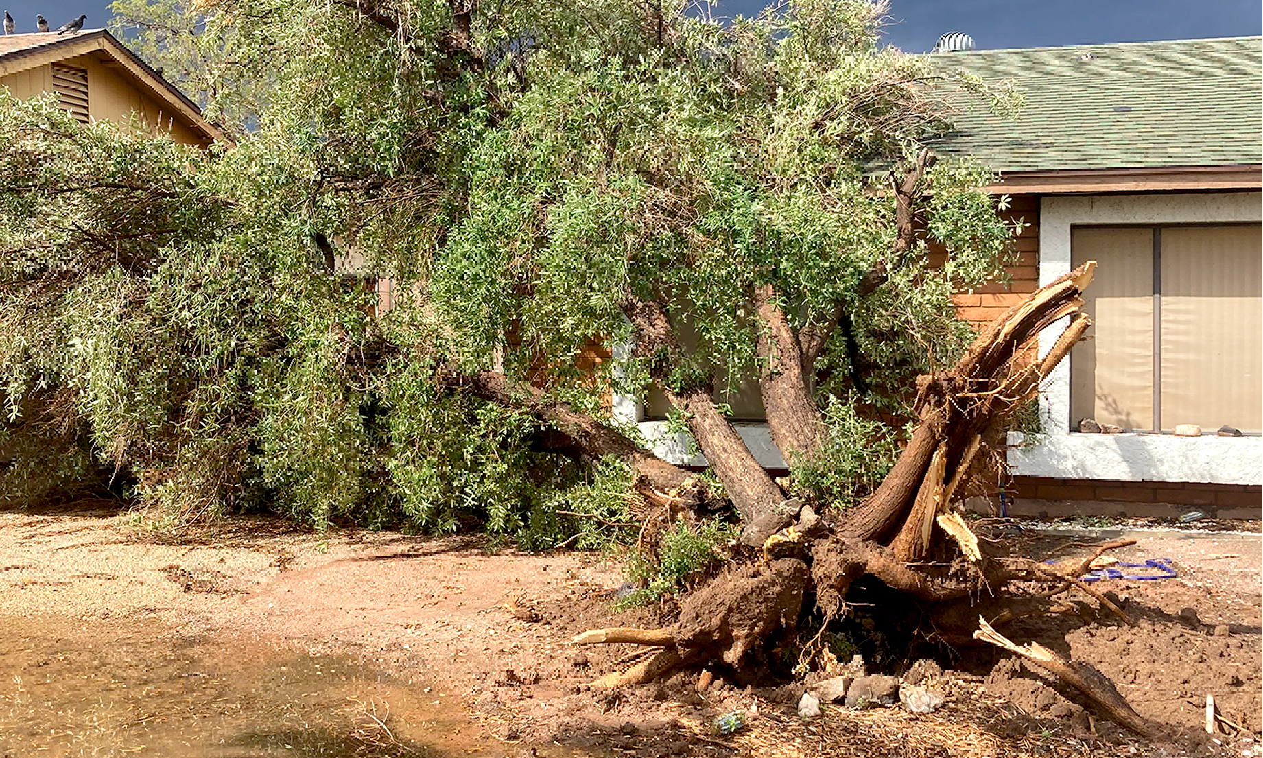
Storm damage close to Southern Avenue in Tempe
Image Courtesy of Arlene Mccracken
Storm conditions visible in Tucson
Image Courtesy of Helena La Pina
Storm conditions visible in Tucson
Image Courtesy of Helena La Pina
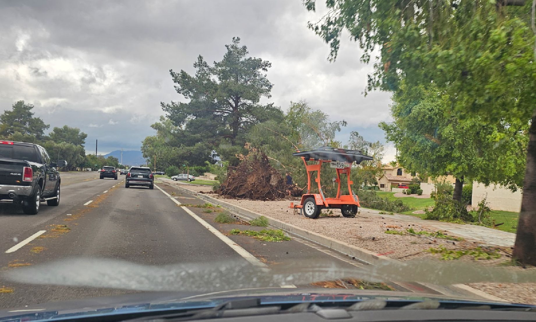
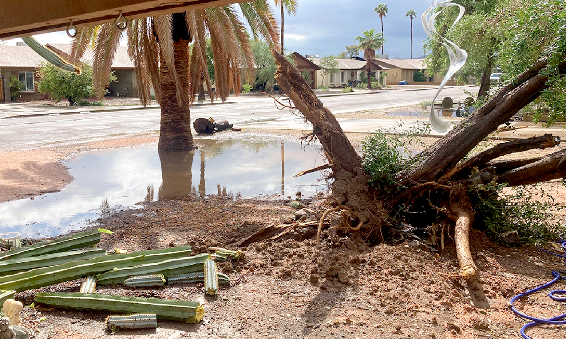
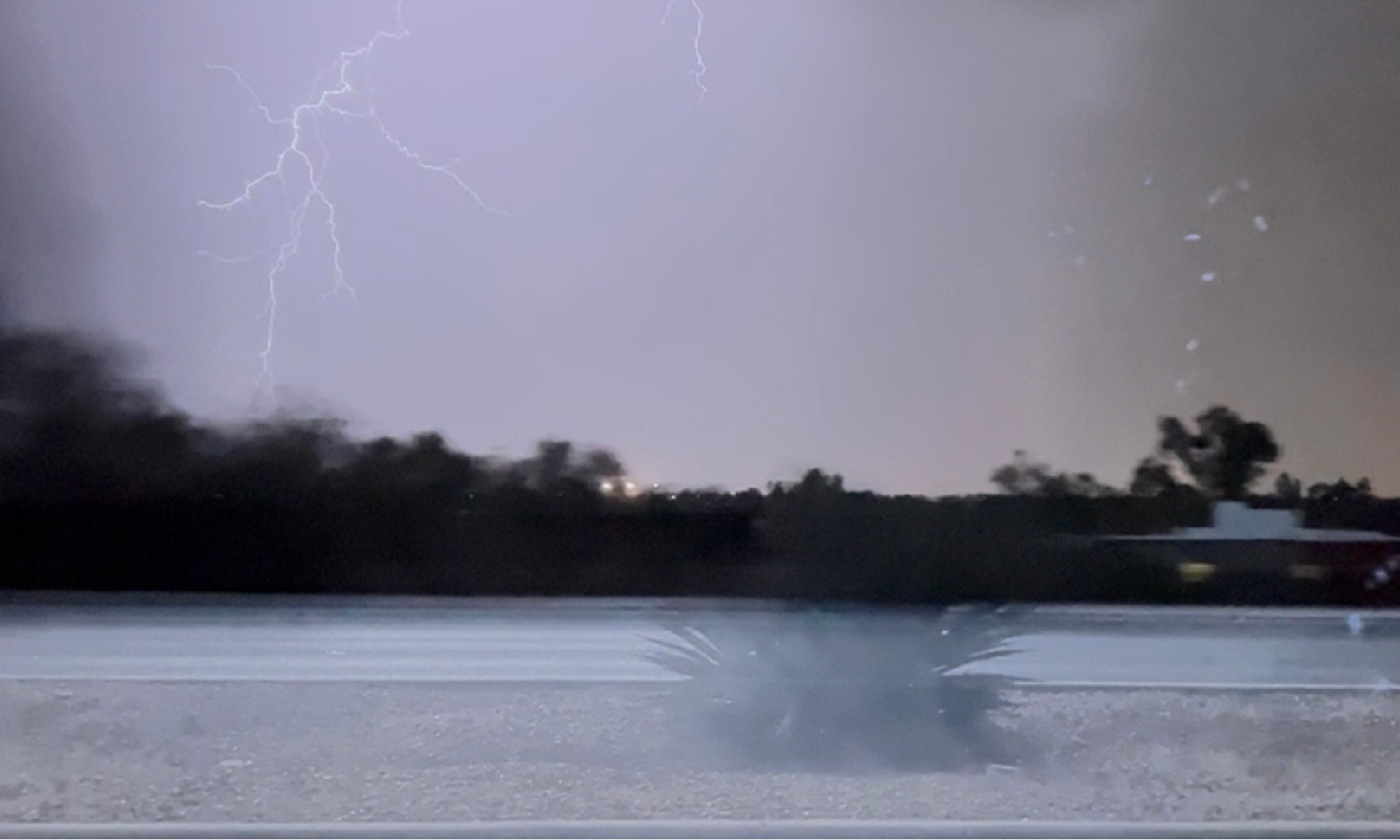
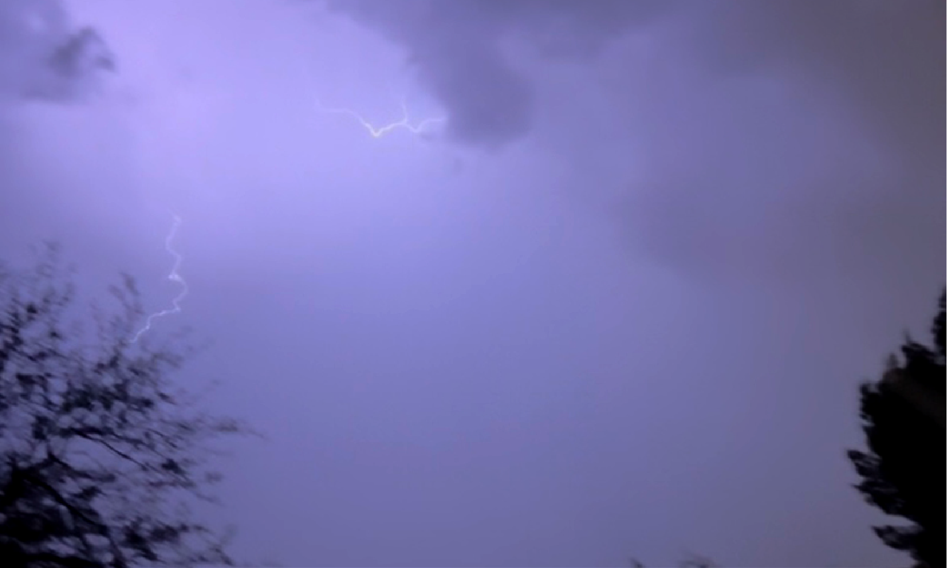
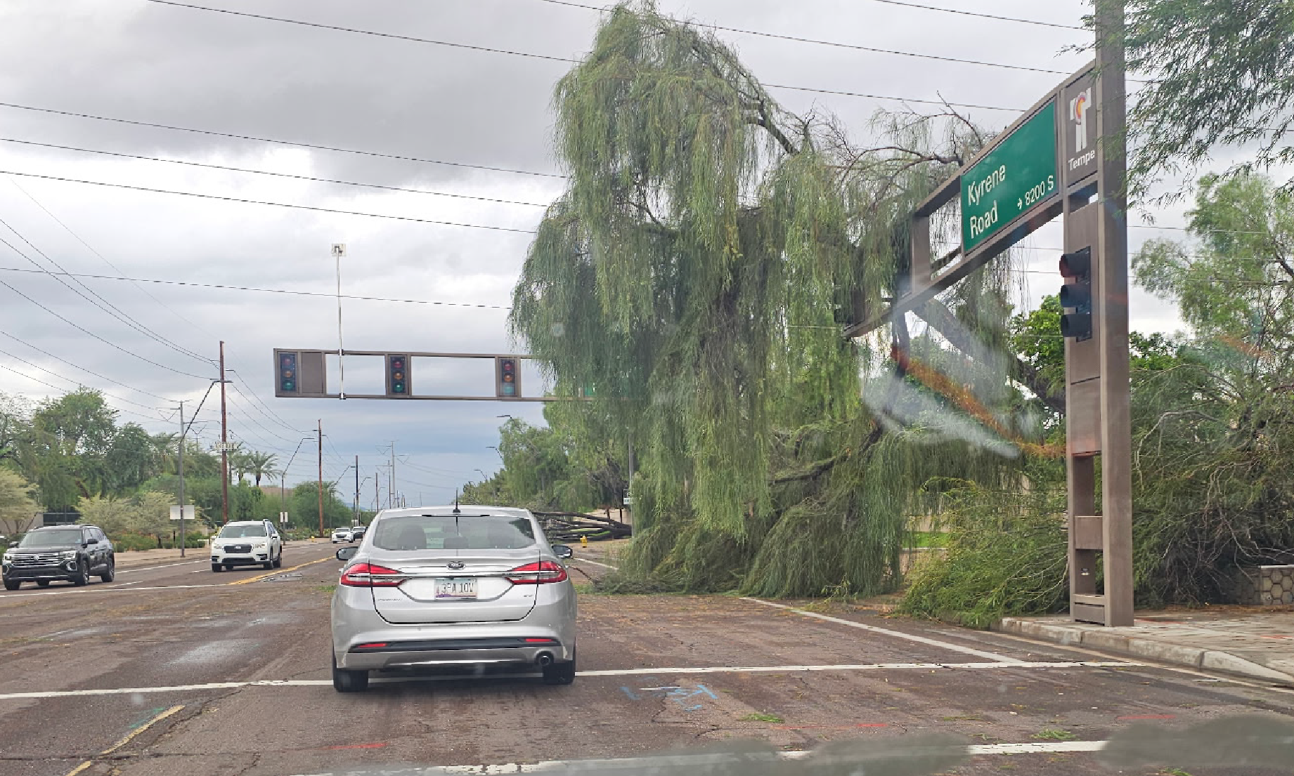
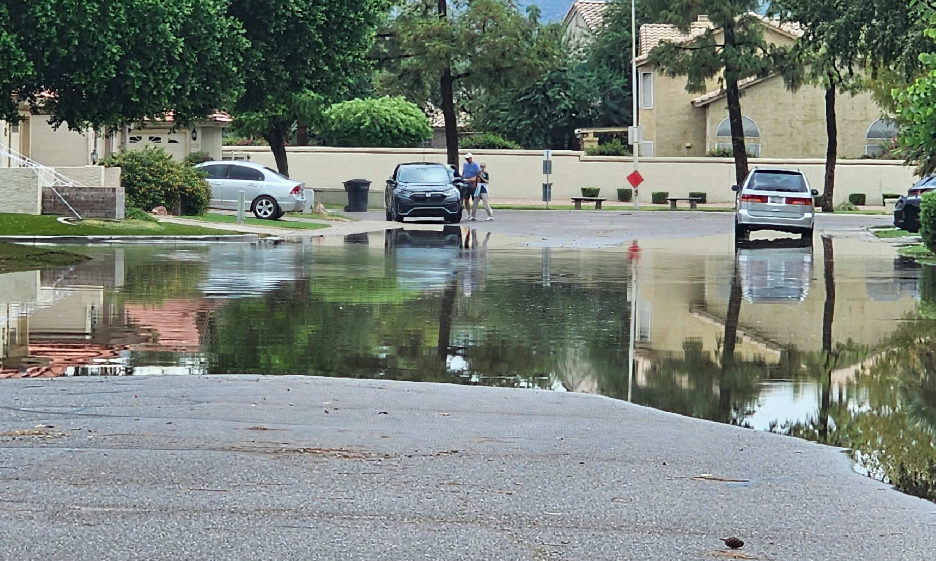
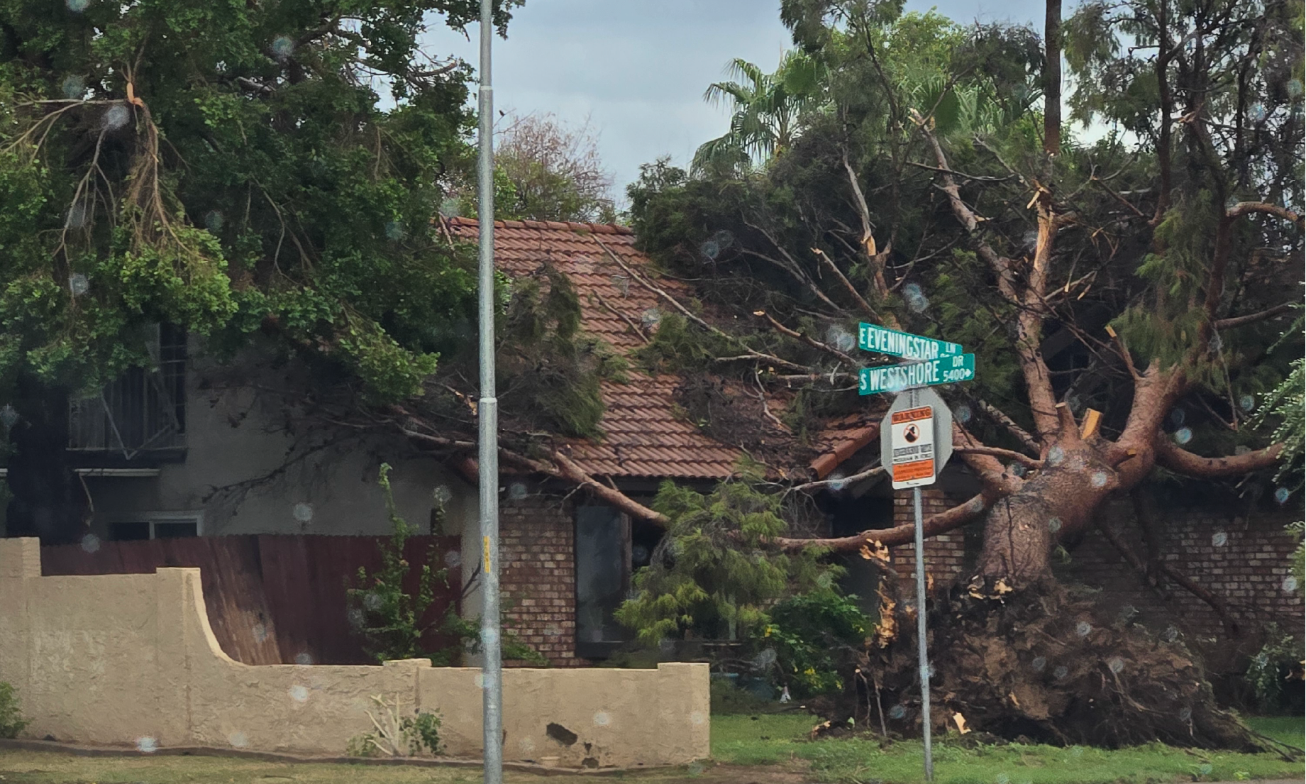
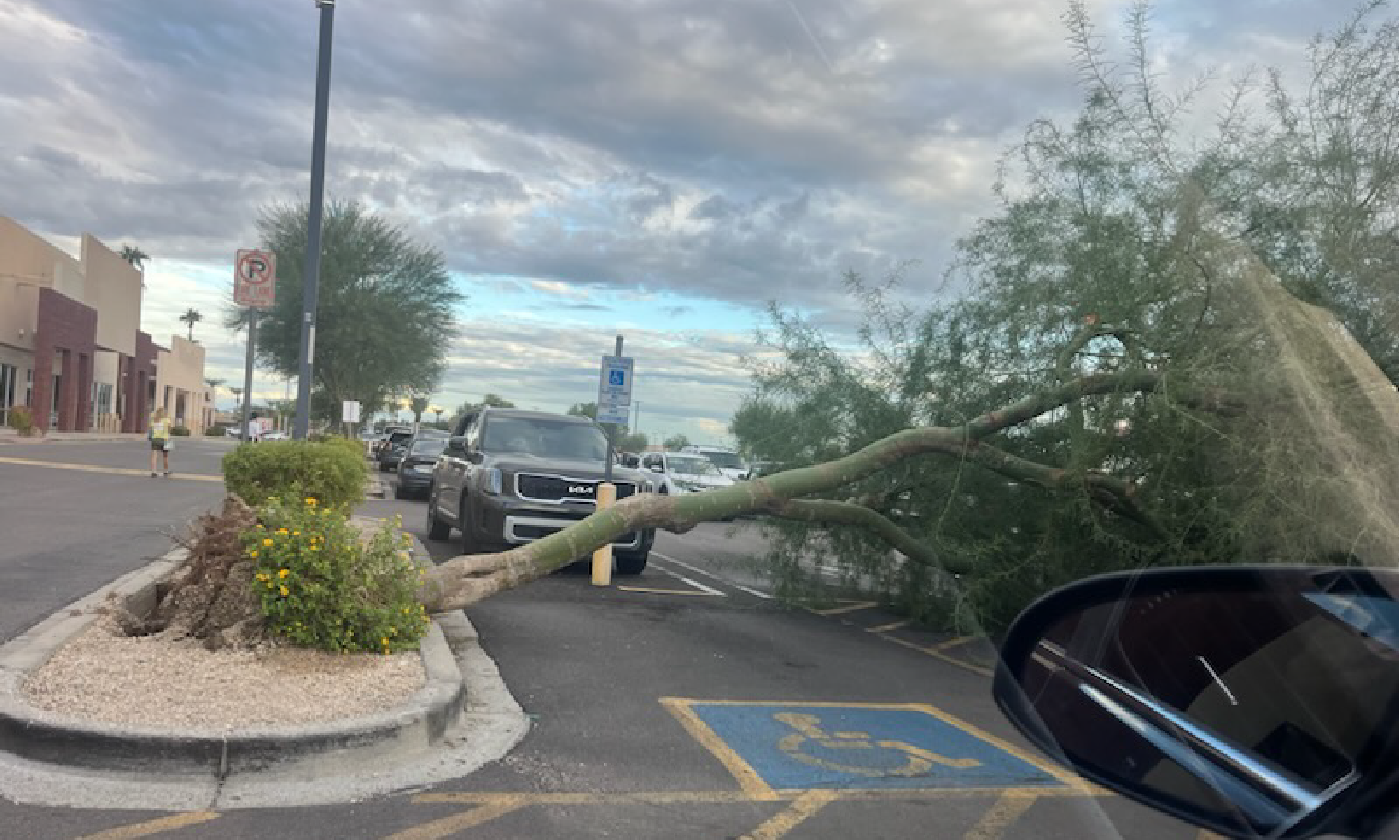
Immediate aftermath of the storm in the Tempe area
Image Courtesy of Jace Whitmer
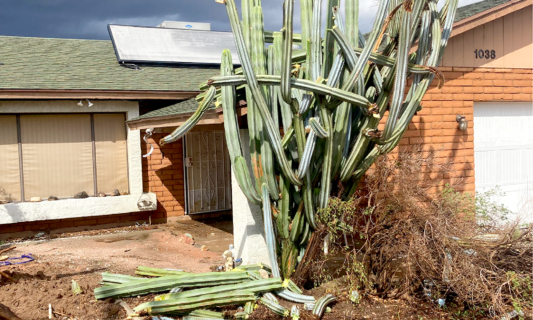
Immediate aftermath of the storm in the Tempe area
Image Courtesy of Jace Whitmer
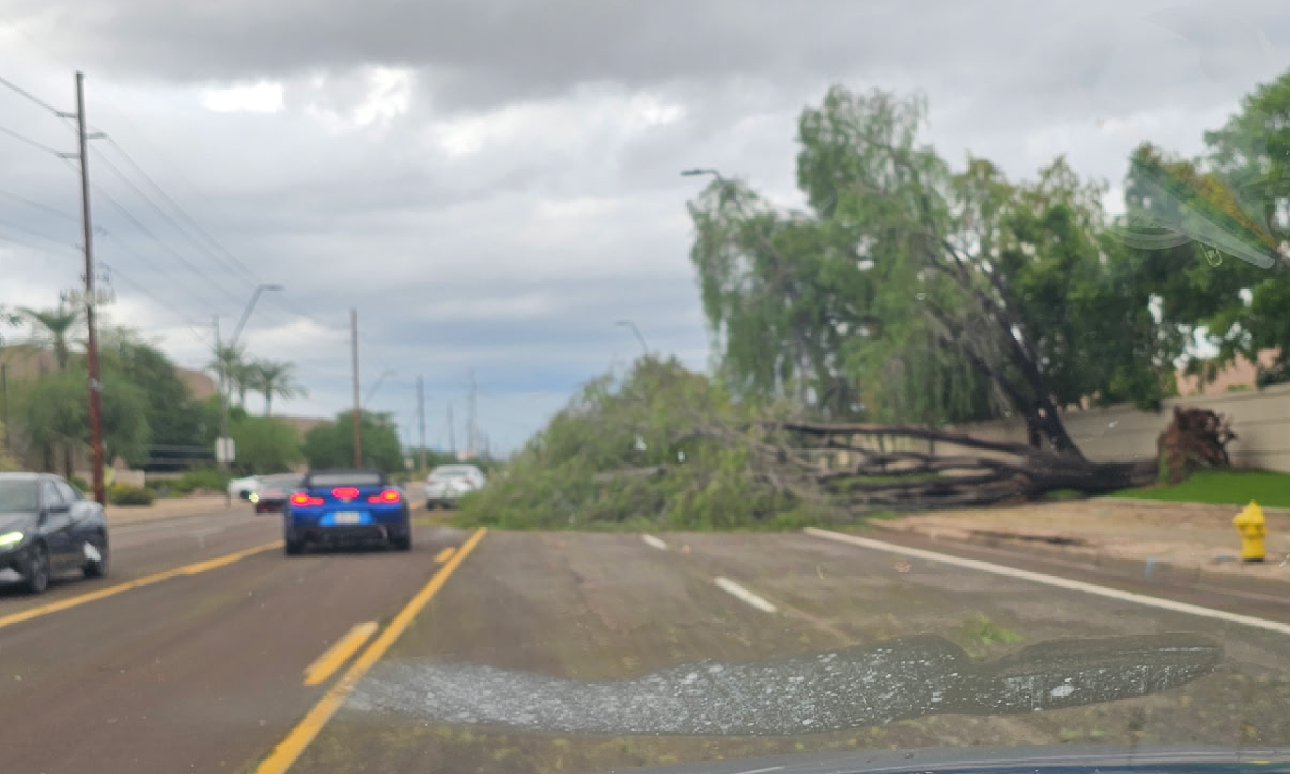
Immediate aftermath of the storm in the Tempe area
Image Courtesy of Jace Whitmer
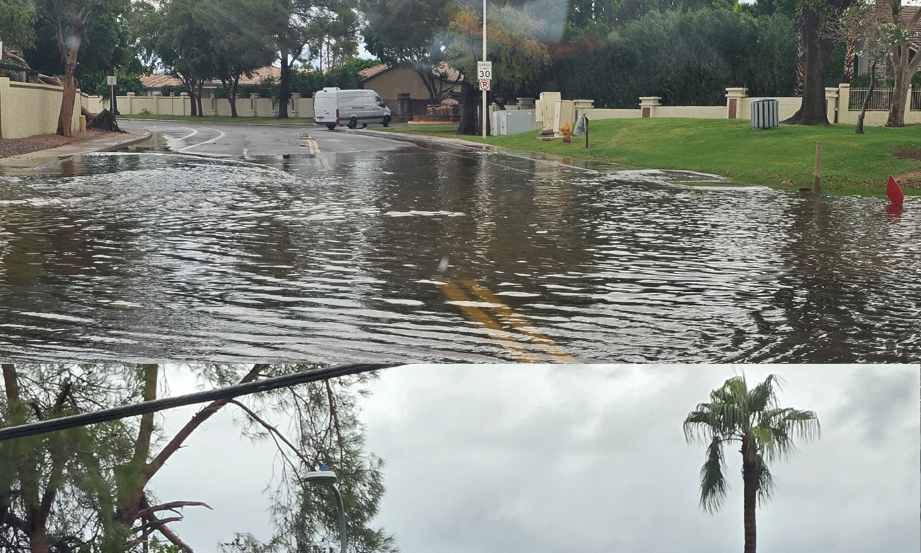
Immediate aftermath of the storm in the Tempe area
Image Courtesy of Jace Whitmer
Immediate aftermath of the storm in the Tempe area
Image Courtesy of Jace Whitmer
Immediate aftermath of the storm in the Tempe area
Image Courtesy of Jace Whitmer
Immediate aftermath of the storm in the Tempe area
Image Courtesy of Jace Whitmer
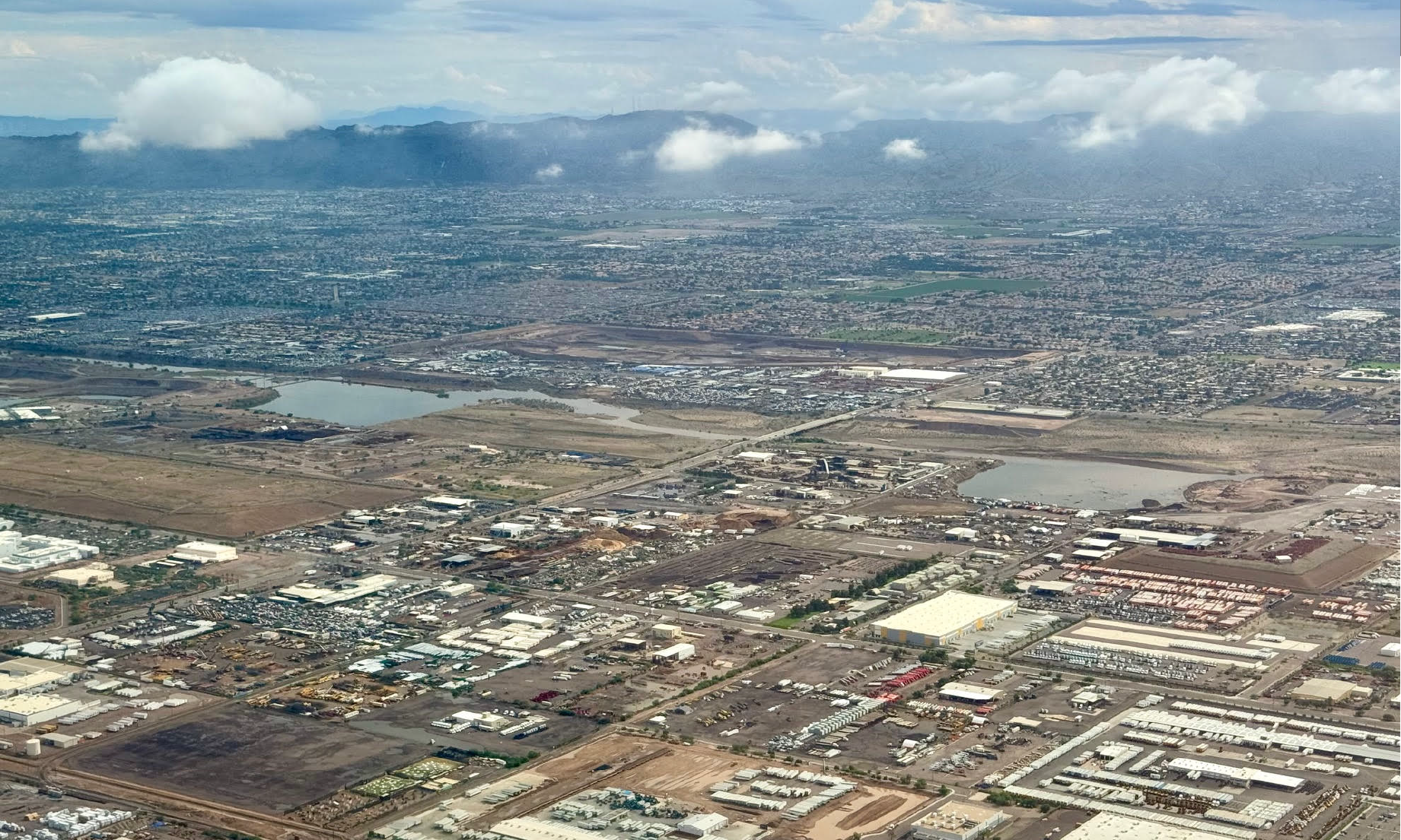
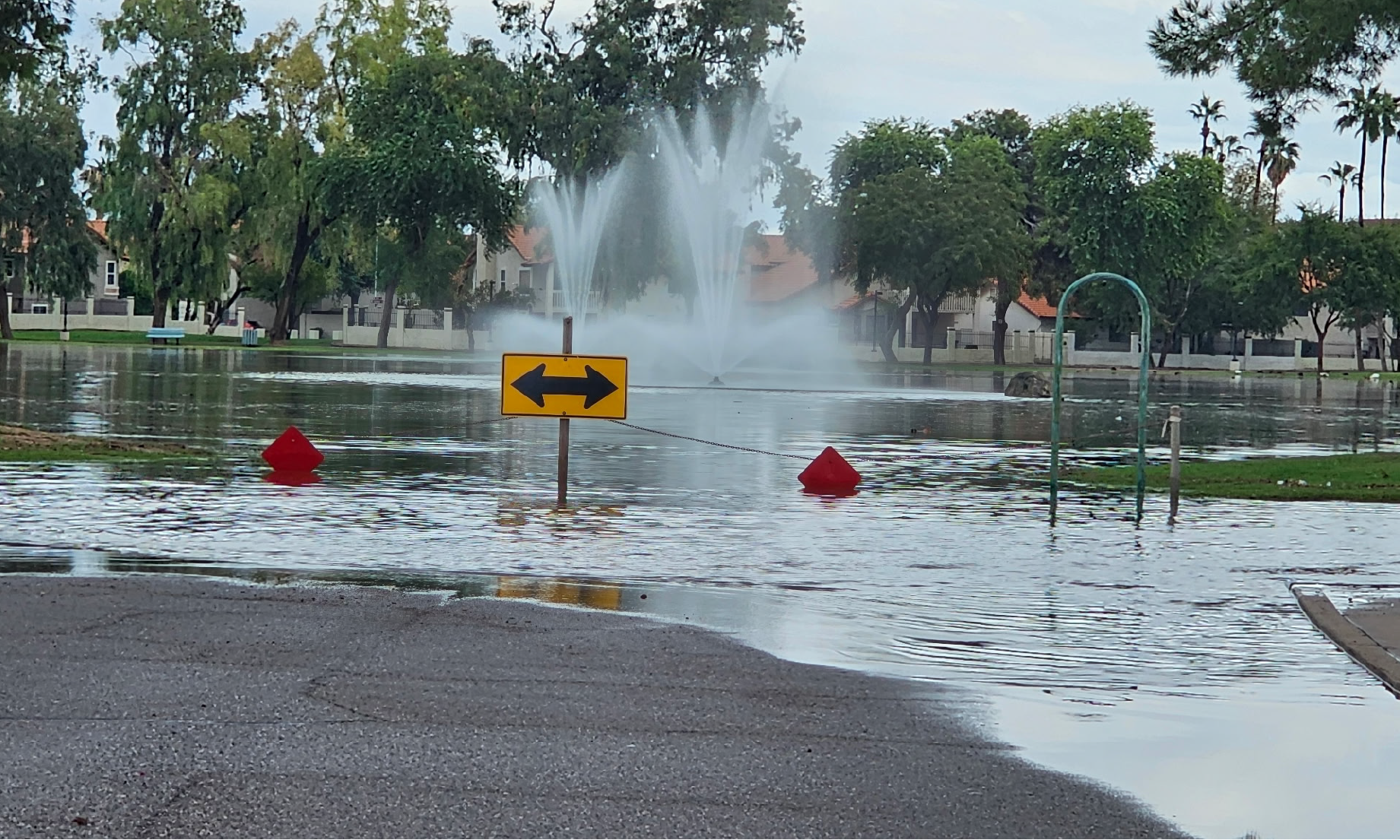
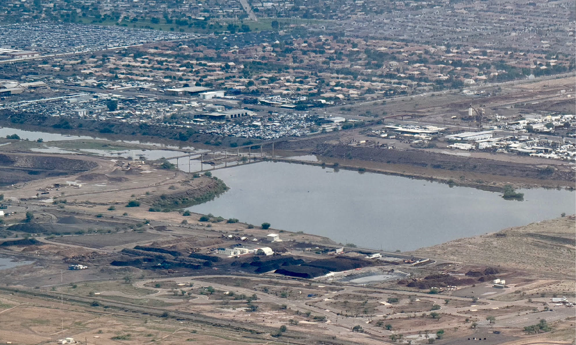
View of the Estrella Village area showing filled impoundments that are usually dry
Image Courtesy of Joshua Litt
View of the Estrella Village area showing filled impoundments that are usually dry
Image Courtesy of Joshua Litt
Immediate aftermath of the storm in the Tempe area
Image Courtesy of Alexandra Garden
Immediate aftermath of the storm in the Tempe area
Image Courtesy of Michelle Salazar